

A synopsis of
Science Advances, vol. 12, no. 45, 2026-11-06 · doi.org/10.1126/sciadv.aek3138

The question. When did people first walk into the Americas south of the great ice sheets? A site in Idaho called Cooper’s Ferry (its Nez Perce name is Nipéhe) holds stone tools, pits and a hearth dated to about 16,000 years ago. That would make it one of the oldest sites on the continent. In 2022 a team led by Todd Surovell used a statistic to argue that sites this old in the lower 48 states are probably jumbled, with younger and older objects churned together. If so, their early dates can’t be trusted. Davis and Madsen, who dug Cooper’s Ferry, ask whether that statistic actually shows what it claims to show.

What came before. For most of the twentieth century, many archaeologists held to “Clovis first”: people arrived about 13,000–14,000 years ago and spread fast. Computer models from the 1960s on tried to explain how. Surovell built two of them himself: one in 2000 on how fast populations could grow and spread, and one in 2003 simulating people moving south along the Pacific coast. In 2019 and 2022, Davis’s team published dates of about 16,000 years for Cooper’s Ferry and 14 stemmed spear points from about 15,785 years ago. Then in 2022 Surovell and eleven co-authors brought in the ASI. They compared five early Alaskan sites with three older sites farther south and concluded that people reached Alaska by about 14,200 years ago but temperate North America only by about 13,000.
What kind of paper this is. It is a reply and critique. It reports no new digging and no new dates. It goes back over published data and arguments, and its tone is sharp: in the last paragraph the authors call a model that ignores site evidence “magical thinking presented as scientific analysis.”

How they studied it. First they take apart how the ASI is calculated. Then they check how Surovell’s team applied it to Cooper’s Ferry, using the excavation’s own maps of where each artifact lay, measured to the millimetre. Finally they set the site’s age against Surovell’s two older models.
What they found.
- The ASI measures the shape of a pattern, not the movement of artifacts. To get it, you sort artifacts into 5-cm layers by height, merge any run of empty layers into a single zero, and add up how much the count jumps from one layer to the next. Sharp jumps give a high score. Smooth change gives a low one, which the 2022 team read as mixing. But a smooth profile can also come from repeated visits while soil built up slowly, from people working in a different spot each time, from small samples, or simply from where the bins fall. The 2022 authors had admitted some of these limits themselves.
- The index doesn’t map neatly onto the categories its authors used. The 2022 simulations put intact sites at 0.4–1.0 and badly mixed ones below 0.3. Yet Broken Mammoth in Alaska, which the 2022 team praised for “excellent stratigraphic integrity,” scored only 0.367. Scores across all eight sites ran from 0.045 to 0.676. At Gault in Texas, which scored 0.219, small flakes may slip down cracks in shrinking and swelling clay while big tools stay put, and the index lumps them all together.
- Where the dig happened to be can fake the signal. Unless the whole site is excavated, a fixed trench may hit the centre of one camp, the edge of the next and miss a third altogether. This can make counts swing up and down, or fade away smoothly, even when nothing has moved.
- At Cooper’s Ferry the height bins cut across real ground surfaces. The artifact-bearing layer (LU3) is windblown silt, or loess, that settled over an uneven surface of sand (LU2). In one profile that surface rises and falls by about 30 cm, and across the 10 × 5 m Area A block by 40.3 cm. Because each new ground surface followed the bumps below it, two items dropped at the same moment can sit many centimetres apart in height. The 2022 team treated the ground as flat. They split everything into 18 level bins between 411.00 and 411.90 m above sea level, so the 24 items lying within 5 cm of the sand surface ended up spread over seven different bins.
- Other lines of evidence show the layers are intact. In Bayesian models the radiocarbon dates stay in order, older below younger. Six pits and a hearth keep sharp edges and their contents. A buried soil, the Rock Creek Soil, is intact, and thick mineral (carbonate) crusts formed only on artifacts from the lower part of the layer, which would not happen if objects had been moving up and down. Rodent burrows show up clearly as darker fill. Excavators dug them out separately and left their contents out of the record.
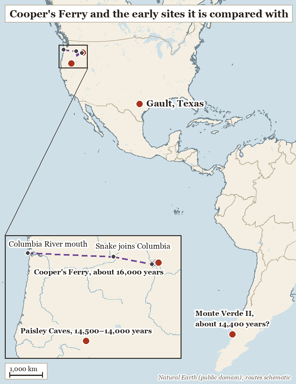
- The site fits Surovell’s own coastal model. In 2003 Surovell found that if people moved down the Pacific coast, they would head inland in the north before reaching southern Chile, and he named the Columbia River as an “obvious corridor.” Cooper’s Ferry lies on the Columbia–Snake–Salmon river system and is about 1,600 years older than the roughly 14,400-year date proposed for Monte Verde II. Paisley Caves in Oregon, just outside the Columbia basin, follows at about 14,500–14,000 years.
- A fast spread is believable. Surovell’s 2000 model needed growth of about 1–3% a year to fill the continent in about 700 years. Genetic estimates of 2,000–3,000 years require lower rates that still fall within his range. Nine other early sites, from Florida to New Mexico, fit a rapid spread from the Pacific coast.
What the authors conclude. Davis and Madsen say the ASI cannot show large-scale mixing at Cooper’s Ferry. In their view its bins there are “artificial inventions,” so the 16,000-year occupation can’t reasonably be dismissed, and the late-arrival conclusion of the 2022 paper loses one of its supports. They are careful to say the site does not prove Monte Verde’s age and does not link the two places. What it does show is that the old lack of early inland sites can no longer count against Monte Verde, which must be judged on its own evidence. Their broader claim is that models are hypotheses to be tested against sites, not authorities that can overrule them.
Why it matters. The date of the first Americans rests on a few disputed sites, and statistics are increasingly used to rank which ones to trust. This paper is a warning that a single number can hide choices, such as where bin boundaries fall, that decide the answer.

How it fits. The same Surovell has since led a re-study arguing Monte Verde is mid-Holocene, not 14,500 years old. Davis co-authored replies defending the older date, and the fight is covered in news stories (one, two), in the site’s deep dive and in a blog post. This paper doesn’t take on that re-dating directly. It argues instead that whatever Monte Verde turns out to be, North America already has inland evidence from 16,000 years ago, so the question remains open but no longer turns on Chile alone.
Things to keep in mind. The authors are defending their own site. They don’t recompute the ASI with bins that follow the old ground surfaces, so we don’t learn what a corrected score would be. Fig. 1 shows made-up examples, not real data. The fit with Surovell’s models is a match with a prediction, not proof of the coastal route. The Gault point is raised as a possibility that “remains to be determined.”
Words to know.
- Stratigraphy: the order of soil and sediment layers; deeper usually means older.
more
The whole argument is about whether the Cooper’s Ferry artifacts stayed in their layers. Look at how the soil in this trench wall falls into stacked bands, with the oldest at the bottom.
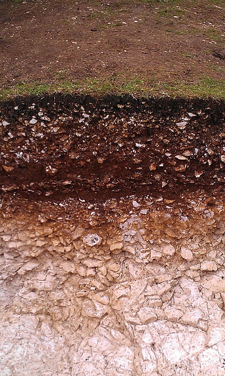
Soil layers exposed in an excavation at Goosehill Camp, West Sussex. By Ethan Doyle White, CC BY-SA 3.0, via Wikimedia Commons. - Stratigraphic integrity: how far objects still sit where they were first buried.
more
A site has stratigraphic integrity when its layers and the things in them have stayed where they were laid down. Davis and Madsen point to features with sharp edges, such as pits and a hearth, as evidence of this at Cooper’s Ferry. In the drawing, look for the hearth sitting inside one clean layer at another early Oregon site.
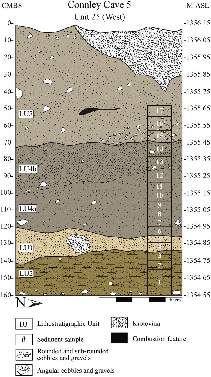
A cross-section of Unit 25 at Connley Cave 5, Oregon, with its layers and a hearth marked. By Katelyn McDonough, et al., CC BY 4.0, via Wikimedia Commons. 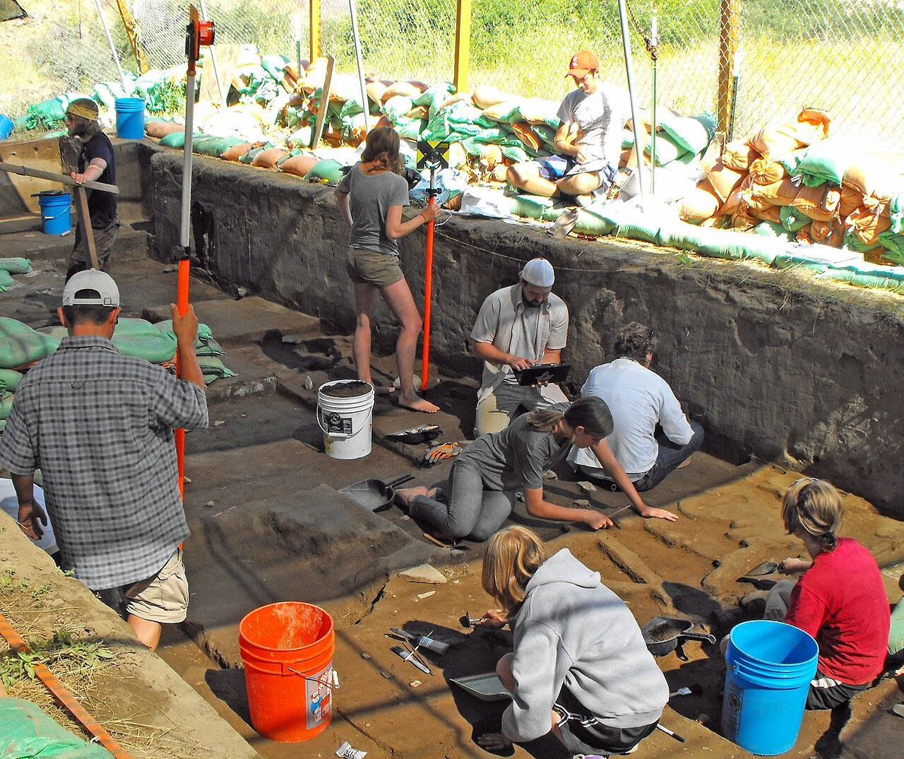
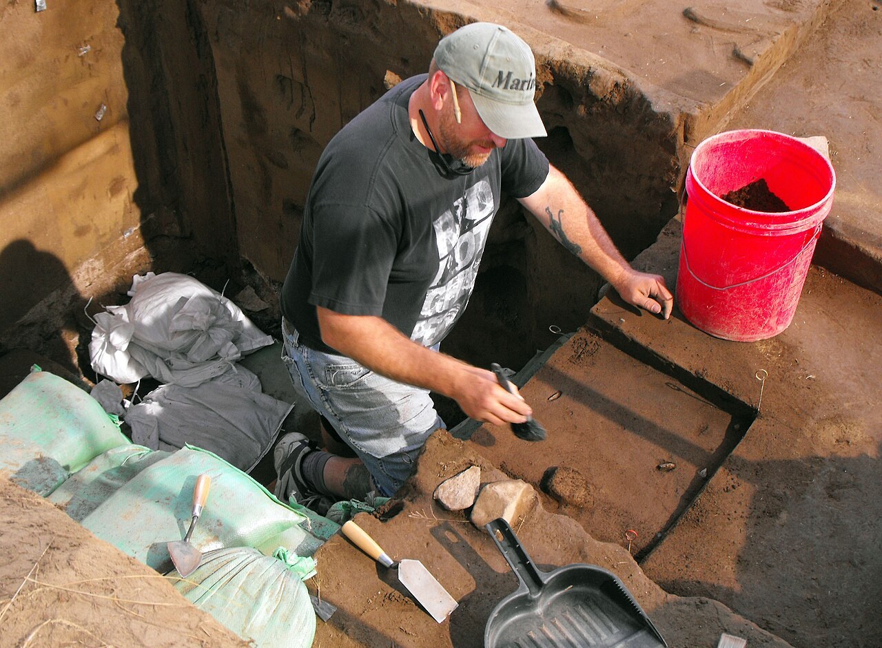
Excavation work underway in a pit at Cooper’s Ferry, Idaho. By BLMIdaho, public domain, via Wikimedia Commons. - Loess: fine windblown silt that piles up slowly.
more
At Cooper’s Ferry the artifacts lie in loess (layer LU3) that settled over a bumpy sand surface, so each new ground surface followed the bumps underneath. In this cliff, look at how the pale windblown silt drapes over the uneven old land surface below it instead of lying flat.
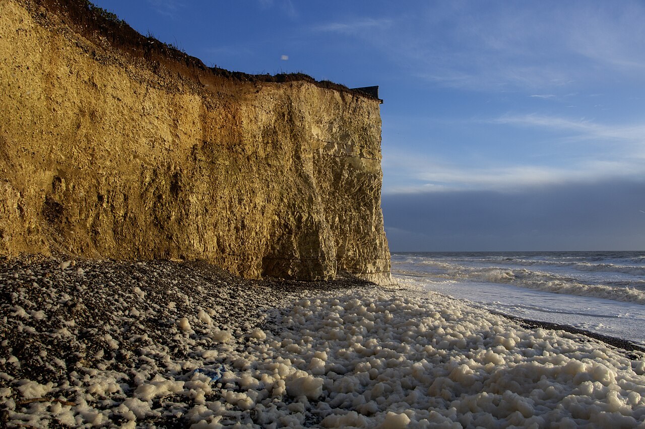
Ice Age loess lying over an old land surface at Birling Gap, East Sussex. By Andrew Diack, CC BY-SA 2.0, via Wikimedia Commons. - cal yr B.P.: calibrated radiocarbon years before present (counted from AD 1950).
more
Radiocarbon ages have to be converted into calendar years before they can be compared, and that is how Cooper’s Ferry gets its date of about 16,000 cal yr B.P. Follow the wiggly curve in the graph: it shows how a radiocarbon age matches up with calendar years.
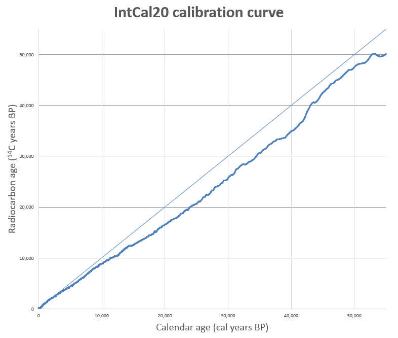
Graph of the IntCal20 radiocarbon calibration data. By Mike Christie, CC BY-SA 3.0, via Wikimedia Commons. - Krotovina: an old animal burrow filled with different-coloured soil.
more
Rodents dug burrows through the Cooper’s Ferry deposits. The excavators dug out the burrow fills separately so that objects moved by animals were kept out of the record. In the picture, the krotovinas are the round patches of a different colour cut into the pale loess.
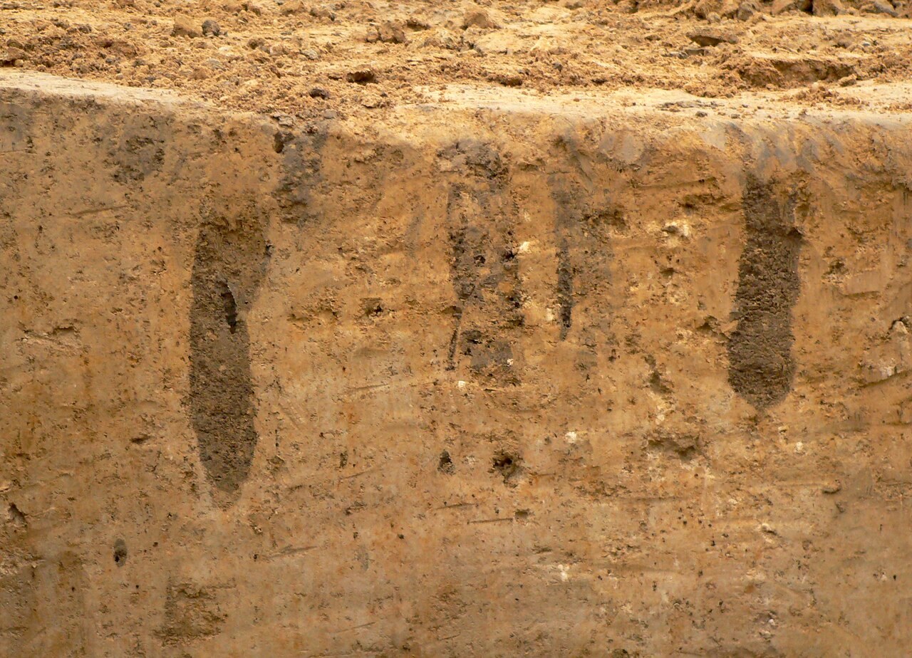
Krotovinas in loess subsoil at an excavation near Hildesheim, Germany. By Axel Hindemith, CC BY-SA 3.0, via Wikimedia Commons. - Paleosol / Btk horizon: a buried ancient soil; a Btk horizon is a soil layer where clay and lime have collected.
more
At Cooper’s Ferry an intact buried soil, the Rock Creek Soil, helps show the layers were not churned. The first picture shows an ancient soil preserved in rock, with its layering still visible. The second shows a soil profile from top to bottom, with a clay-rich, lime-rich layer of the kind a Btk horizon is.
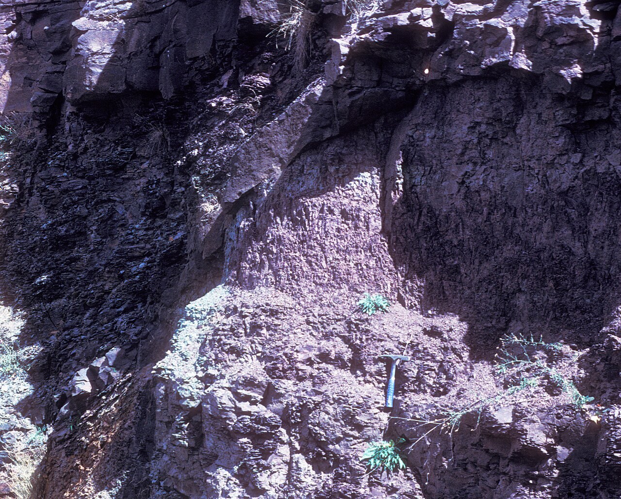
A Devonian-age paleosol in a road cut near East Windham, New York. By Retallack, CC BY-SA 4.0, via Wikimedia Commons. 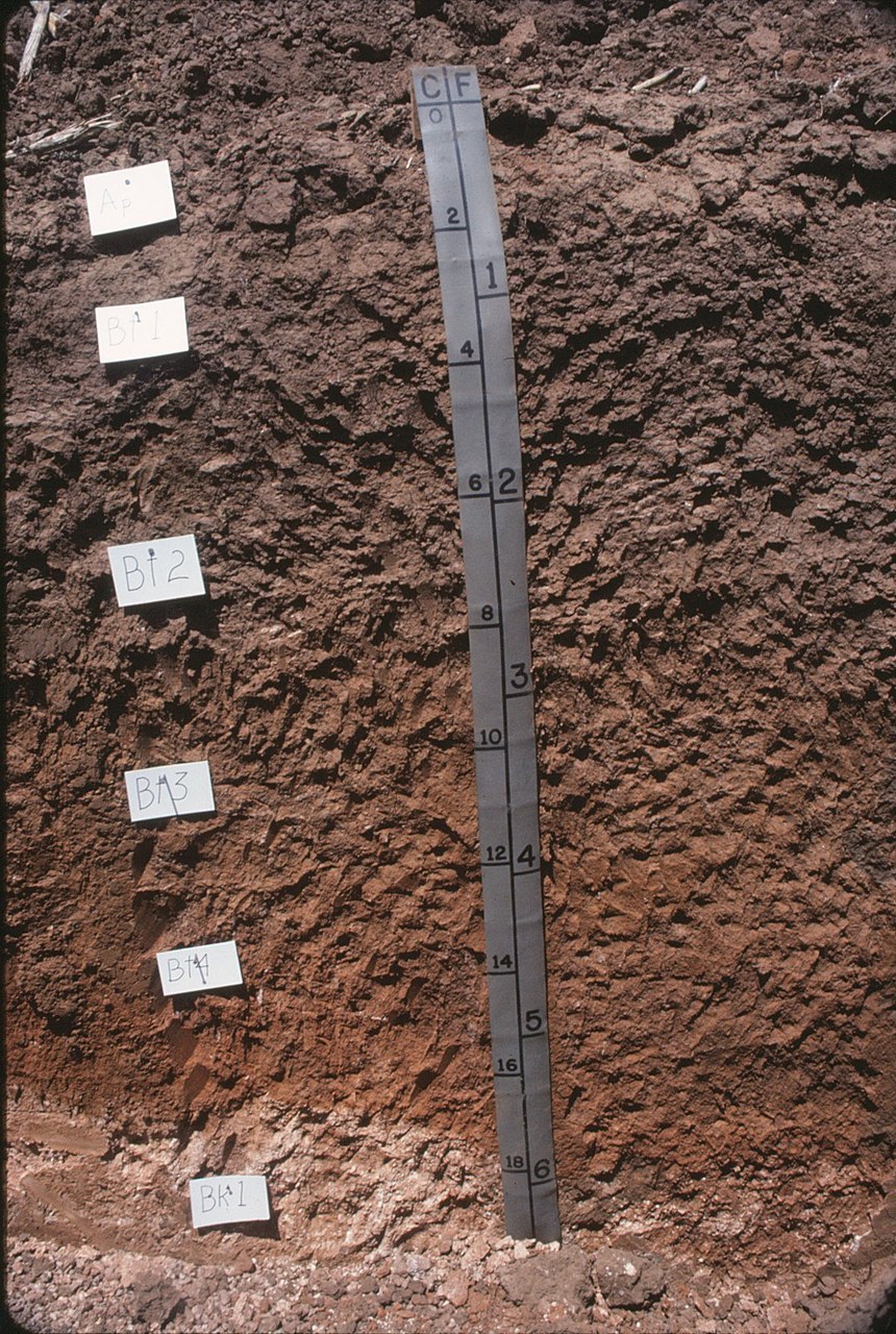
A Texas soil profile with a clay-rich subsoil and a calcic horizon. By Soil Science from Raleigh, CC BY 2.0, via Wikimedia Commons. - Bayesian modeling: a statistical method that combines radiocarbon dates with the known order of layers to estimate ages.
- Clovis: a widespread style of spear point from about 13,000 years ago, once thought to mark the first Americans.
more
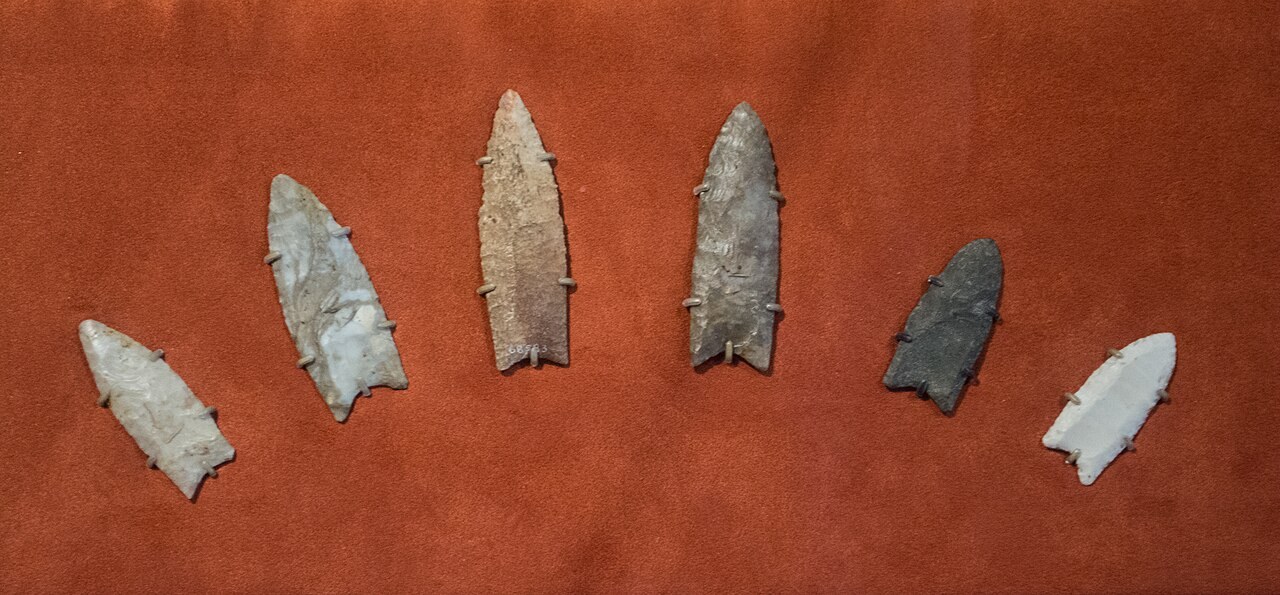
For decades, Clovis points like these, about 13,000 years old, were taken as the mark of the first Americans. Cooper’s Ferry is said to be about 3,000 years older. Look for the long grooves (flutes) running up from the base of each point.
Clovis spear points, 13,500–13,000 years old, Cleveland Museum of Natural History. By Tim Evanson, CC BY-SA 2.0, via Wikimedia Commons. - Debitage: stone flakes left over from making tools.
more
Small waste flakes like these make up much of the artifact count at a site like Cooper’s Ferry. Because they are small, they can move through the soil more easily than big points. Notice how thin and small they are.
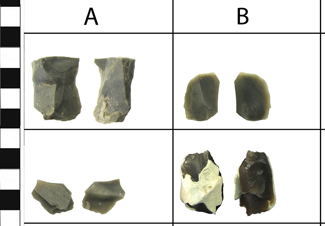
Flint-knapping waste flakes (debitage). By West Yorkshire Archaeology Advisory Service, Amy Downes, 2014-08-28 16:51:20, CC BY-SA 4.0, via Wikimedia Commons.


